Altavec's AIMS Zero is enhancing field worker safety with innovative, wearable hazard technology
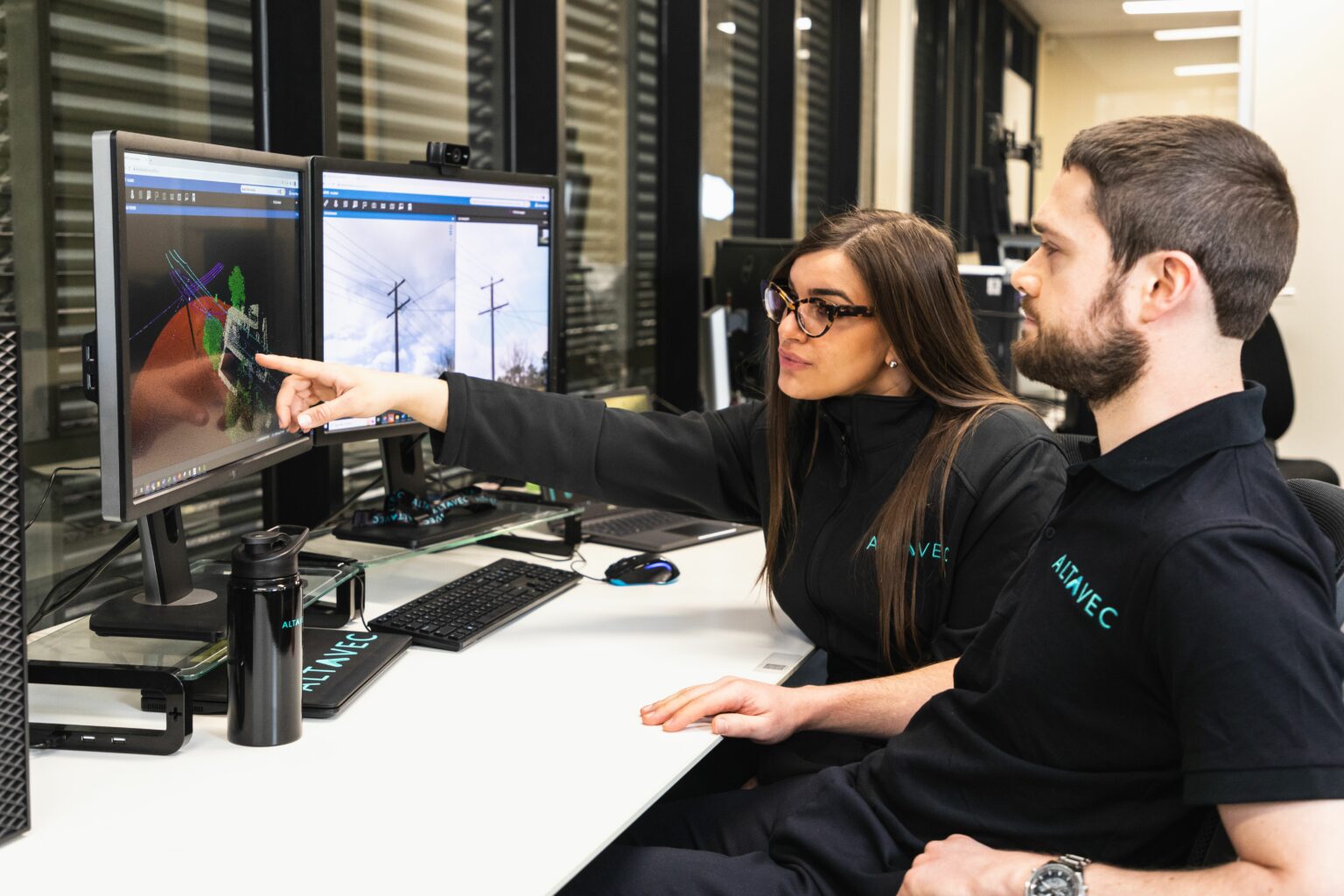
Leveraging remote sensing, imagery, and advanced analytic technologies, Horizon Power’s Geospatial Intelligence Program aims to deliver a geospatial intelligence solution that transforms the utility’s ability to quickly understand the state of the network.
With a network spanned across thousands of kilometres, the program will optimise asset performance, and keep the network safe and reliable. Horizon Power has selected geospatial specialist Altavec to deliver the program.
This article from Utility Magazine discusses the innovative capture program and actionable insights that Altavec is delivering with the world-class, cloud-based, geospatial intelligence platform - AIMS (Advancing Intelligent Mapping Solutions). To read the full article visit Utility Magazine
Altavec's AIMS Zero is enhancing field worker safety with innovative, wearable hazard technology
Delivering geospatial intelligence using remote sensing and advanced analytics
At Spatial Source's Annual Leaders Forum, experts are asked to look ahead into 2023. Today they talk data with Altavec's CTO Adrian Cleeve.
Utility Magazine discusses the innovative capture program and actionable insights that Altavec is delivering with the world-class AIMS platform
Learn how Altavec & Sydney Trains are innovating the rail industry, how networks are inspected and managed.
Get in touch wth our dedicated team of experts today and experience the Altavec Advantage