Altavec carries out a laser clearance survey for bi-level trains feasibility, on behalf of SEPTA, Philadelphia
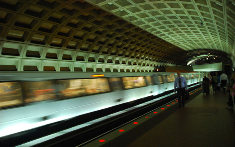
Bay Area Rapid Transit (BART) in San Francisco identified that a transit asset data collection project was needed to underpin the success of its major IT system initiatives and growth planning.
As a specialist supplier of rail asset information, Altavec (formerly Geomatic Technologies) was tasked with collecting 3D panoramic imagery and LiDAR datasets across the BART network and using specialist tools and techniques to extract current asset information from these datasets.
“The investment we made will pay dividends for years to come. They not only met their obligations, but exceeded our expectations”
Altavec mobilised its camera and laser equipment onto a BART rail maintenance vehicle. Accurate inertial positioning equipment was also deployed so that any data recorded through parts of the network with little or no GPS (e.g. long underground sections such as the Transbay Tube) could be mapped and assigned accurate milepost and stationing values. Altavec's rapid rail data acquisition technology was able to record all project data over three recording days with minimal disruption to revenue services.
Altavec carries out a laser clearance survey for bi-level trains feasibility, on behalf of SEPTA, Philadelphia
"The investment we made will pay dividends for years to come. They not only met their obligations, but exceeded our expectations"
Altavec Capturing and Mapping signage and trees for the City of Greater Geelong
Get in touch wth our dedicated team of experts today and experience the Altavec Advantage